

Surveying construction sites, especially large infrastructure projects like roads and bridges, requires accuracy. The more accuracy, the better the project. The classic case of poor accuracy is the bridge that was started from both banks of the river and…failed to meet in the middle. Of course, that was just a joke, a cartoon, or movie comedy point. Or was it?
Technology companies have been providing positioning tools for decades using commonly available satellite signals from all four GNSS Systems (GPS, GLONASS, BeiDou, and Galileo) to determine absolute position and orientation. Major players in the location/positioning market, including Topcon Positioning Systems and Trimble, offer their technology and network access to partners around the world.
Common errors in current GNSS systems require corrections to achieve the high-level of accuracy required. RTK (realtime kinematic) technology is used to correct these errors and achieve centimeter-level accurate positioning. Created about 30 years ago, realtime kinematic is a positioning technique that solves accuracy, motion, and timing challenges, enabling satellite positioning systems to deliver highly precise location information.
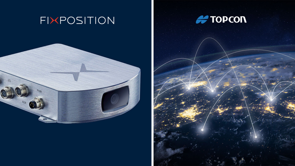
Recently, Topcon Positioning Systems and Fixposition, a Swiss company developing high-precision global positioning solutions, combining computer vision techniques and satellite navigation, entered an agreement for Fixposition to provide Topcon correction services to Fixposition customers in North America and Europe. Topcon is a GNSS OEM (original-equipment manufacturer) and correction services provider and operates the Topnet Live network, one of the largest GNSS base station networks in Europe and North America.
Delivering high-quality RTK correction services, the network will complement the positioning capabilities of the Fixposition Vision-RTK 2 solution. In areas where there are reliable GNSS signals, Vision-RTK 2 uses Topcon RTK correction to initialize at centimeter accuracy. In areas with disrupted GNSS signals, the Fixposition vision fusion takes over to maintain the accuracy of global position and pose estimation. The technology has already been adopted by many autonomy solution providers and OEMs of lawnmowers, ag-tech vehicles, and utility robots such as road sweepers. It helps them to extend precise operation into areas where it was not possible before.
In Fixposition’s case, all available sensor data such as GNSS observations, camera images, and measurements from an IMU, an electronic device that measures and reports a body’s specific force, angular rate, and sometimes the orientation of the body, using a combination of accelerometers, gyroscopes, and sometimes magnetometers, are fed into Fixposition’s deep sensor fusion engine. Auxiliary inputs like wheel speed information can also be added to increase sensor performance in GNSS degraded or denied areas. The fusion engine leverages the strengths of multiple independent sensor technologies and compensates for individual weaknesses to provide an optimal pose estimate.
Camera images are used to extract significant points (visual features) that are tracked across multiple images. Subsequent observations of visual features allow computation of how the camera moved in between the captured images.
Want to tweet about this article? Use hashtags #construction #sustainability #infrastructure #IoT #cloud #edge